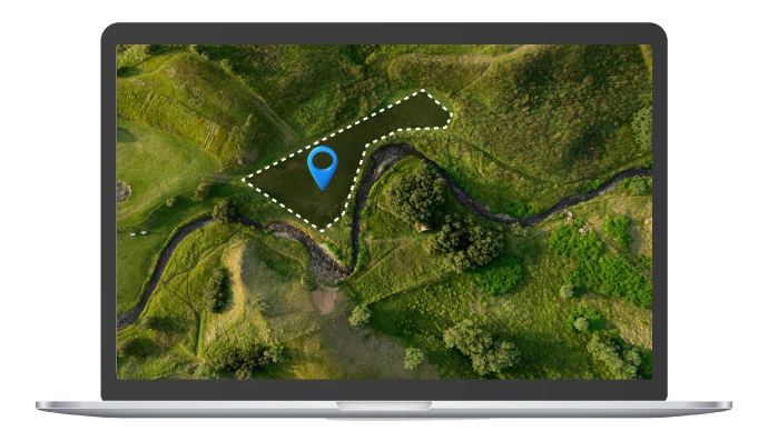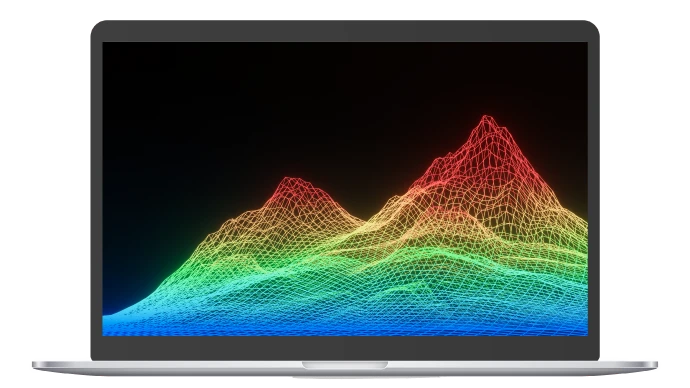
Our Drone LiDAR Scanning service utilizes advanced LiDAR (Light Detection and Ranging) technology mounted on drones to capture highly accurate three-dimensional data of landscapes, structures, and other features. This cutting-edge service provides precise measurements and detailed insights for various applications, including topographic mapping, construction planning, and environmental analysis.
Our Drone LiDAR Scanning service delivers highly accurate spatial data through advanced LiDAR technology. Drones quickly collect detailed point cloud data and generate comprehensive 3D models, enhancing efficiency and precision for topographic surveys, infrastructure planning, and more. This service integrates seamlessly with GIS for in-depth analysis, providing exceptional accuracy and valuable insights for diverse applications.
We use drones equipped with LiDAR sensors to capture dense and highly accurate point cloud data. This technology provides precise measurements of elevations, distances, and features, even in challenging conditions.
Drones equipped with LiDAR sensors can quickly cover large areas, making the data collection process more efficient compared to traditional ground-based methods.
LiDAR data is processed to create detailed 3D models and digital terrain models (DTMs). These models offer a comprehensive view of the surveyed area, including ground surface, vegetation, and built structures.
The resulting point clouds from LiDAR scanning provide detailed and accurate representations of the surveyed area, useful for analysis and planning.
Our LiDAR scanning service is ideal for various applications, including topographic surveys, flood modeling, forestry management, infrastructure planning, and archaeological site documentation.
LiDAR data can be integrated with Geographic Information Systems (GIS) for advanced spatial analysis, enabling detailed mapping and planning
LiDAR technology offers superior accuracy and precision, capturing minute details and subtle changes in terrain and structures
Thermal imaging identifies potential problems before they escalate, enabling proactive maintenance and reducing the risk of system failures
Drones cover large areas quickly, reducing field time and operational costs compared to traditional methods
3D models and point clouds offer a clear, detailed view of the surveyed area,aiding in project visualization and decision making
LiDAR technology performs well in various conditions, including low-light and dense vegetation, where traditional surveying methods may struggle