img

Drone Land Surveying

Surveying Specialist

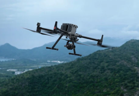
Our Drone-Based Land Surveying service leverages cutting-edge drone technology to deliver precise, high-resolution topographic and geographic data for land assessment and planning.

Drone-Based Land Surveying Our advanced drones capture high-resolution aerial imagery to create detailed topographic maps, 3D models, and orthophotos. We ensure precise data collection and GIS integration for effective land planning and development.

By utilizing the latest in drone technology, we provide comprehensive insights and actionable data that streamline project workflows and enhance decision-making for all land development needs.
Key Features

img
High-Resolution Aerial Imagery

We use advanced drones equipped with high-resolution cameras to capture detailed aerial images of the land, providing a comprehensive view of topographical features and site conditions.

Accurate Topographic Mapping

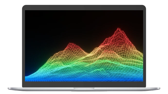
Our service includes the creation of accurate topographic maps that detail elevation changes, contours, and land features. This data is crucial for planning, design, and analysis.

3D Modeling and Orthophotos

We produce 3D models and orthophotos that provide a detailed, accurate representation of the terrain. These models are useful for visualizing land features and planning developments.

Geospatial Data Integration

The data collected can be integrated with GIS (Geographic Information Systems) for further analysis, allowing for detailed spatial analysis and planning.

img
img
Efficient Data Collection

Drones can quickly survey large areas, reducing the time and cost associated with traditional land surveying methods. This efficiency is especially beneficial for large or difficult-to-access sites

Detailed Reporting

We deliver comprehensive reports that include maps, 3D models, and annotated imagery, offering clear insights and documentation of the surveyed land

BENEFITS
img
Speed and Efficiency

Rapid data collection and processing reduce project timelines and minimize disruptions to the site.


img
Cost-Effectiveness

Lower operational costs compared to traditional surveying methods while providing high-quality results


img
Improved Accuracy

High precision in measurements and mapping, with detailed and accurate geospatial data


img
Visual Clarity

Clear and detailed visualizations make it easier to analyze and communicate land features and project plans